 vesseltracker.com
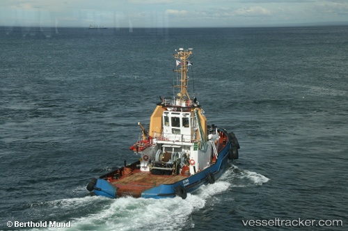
Find the position of the vessel Skyring on the map. The latter are known coordinates and path.
marine traffic ship tracker show on live map
The current position of vessel Skyring is -23.09343 lat / -70.45191 lng. Updated: 2025-11-13 10:45:53 UTCDetails:
Last coordinates of the vessel:
UTC, -23.09344, -70.45200, course: 342, speed: 0.1UTC, -23.09345, -70.45200, course: 333, speed: 0.1
UTC, -23.09333, -70.45167, course: -1, speed: 0
2025-11-13 10:45:53 UTC, -23.09343, -70.45191, course: 323, speed: 0.1