 vesseltracker.com
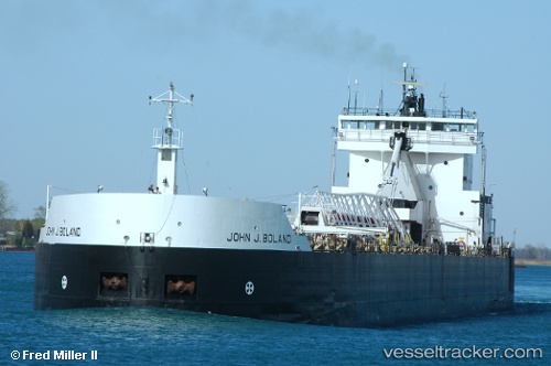
Find the position of the vessel John J Boland on the map. The latter are known coordinates and path.
marine traffic ship tracker show on live map
The current position of vessel John J Boland is 44.8162 lat / -82.7979 lng. Updated: 2025-08-03 05:20:09 UTCCurrently sailing under the flag of USA
John J Boland built in 1973 year
Deadweight:
33438 tDetails:
Last coordinates of the vessel:
UTC, 45.2233, -83.0117, course: -1, speed: 12UTC, 45.1363, -82.9041, course: 165, speed: 12.5
UTC, 44.9917, -82.8583, course: -1, speed: 12
2025-08-03 05:20:09 UTC, 44.8162, -82.7979, course: 165, speed: 12.4