 vesseltracker.com
Live AIS position:
41.63843° N, 87.14760° W UTC. Near Burns Harbor),
updated 2025-11-19 16:23:17 UTC.
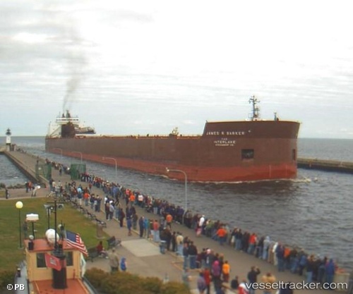
Find the position of the vessel James R Barker on the map. The latter are known coordinates and path.
marine traffic ship tracker show on live map
The current position of vessel James R Barker is 41.63843 lat / -87.14760 lng. Updated: 2025-11-19 16:23:17 UTCDetails:
Last coordinates of the vessel:
UTC, 41.63845, -87.14763, course: 181, speed: 0UTC, 41.63843, -87.14762, course: 181, speed: 0
UTC, 41.63847, -87.14763, course: 181, speed: 0
2025-11-19 16:23:17 UTC, 41.63843, -87.14760, course: 181, speed: 0