 vesseltracker.com
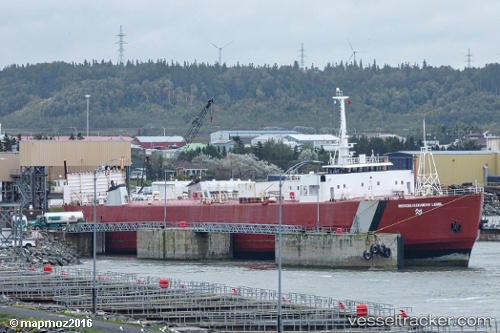
Find the position of the vessel Georges A Lebel on the map. The latter are known coordinates and path.
marine traffic ship tracker show on live map
The current position of vessel Georges A Lebel is 48.84354 lat / -67.57352 lng. Updated: 2025-09-18 18:16:35 UTCDetails:
Last coordinates of the vessel:
UTC, 49.23402, -68.13253, course: 65, speed: 1.2UTC, 49.23398, -68.13264, course: 64, speed: 0
UTC, 48.84350, -67.57550, course: 83, speed: 2.6
2025-09-18 18:16:35 UTC, 48.84354, -67.57352, course: 305, speed: 0