 vesseltracker.com
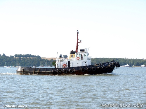
Vessel Rachel J IMO: 7411105, MMSI: 235000883 Tug
UTC, 6.13200, 1.29262, course: -1, speed: 3.5
UTC, 6.09071, 1.25596, course: -1, speed: 2.9
2026-01-18 14:14:28 UTC, 6.06443, 1.23127, course: -1, speed: 0.9
Live AIS position:
UTC. Near Lome),
updated 2026-01-18 14:14:28 UTC.
Find the position of the vessel Rachel J on the map. The latter are known coordinates and path.
marine traffic ship tracker show on live map
The current position of vessel Rachel J is 6.06443 lat / 1.23127 lng. Updated: 2026-01-18 14:14:28 UTCDetails:
Last coordinates of the vessel:
UTC, 6.14289, 1.28950, course: -1, speed: 0.1UTC, 6.13200, 1.29262, course: -1, speed: 3.5
UTC, 6.09071, 1.25596, course: -1, speed: 2.9
2026-01-18 14:14:28 UTC, 6.06443, 1.23127, course: -1, speed: 0.9