vessel JOEL IMO: 9198094, Crude Oil Tanker vesseltracker.com
Vessel JOEL IMO: 9198094, Crude Oil Tanker
MMSI: 750931000 callsign: 8RPP6 size: 244x42

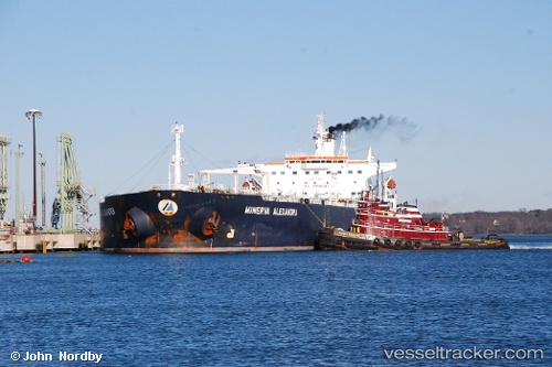
Find the position of the vessel JOEL on the map. The latter are known coordinates and path.

marine traffic ship tracker show on live map

The current position of vessel JOEL is 1.31958 lat / 104.236 lng. Updated: 2025-02-26 21:22:46 UTC

Currently sailing under the flag of Guyana

JOEL built in 2000 year

Deadweight:
104643 t

Payload_mass:
104643 tonne
Gross tonnage:
58125
Service entry:
2000-01-01T00:00:00Z

Manufacturer:
Samsung Heavy Industries (South Korean shipbuilding company)
Details:


Last coordinates of the vessel:
UTC, 1.31926, 104.236, course: 43, speed: 0.2
UTC, 1.31904, 104.236, course: 19, speed: 0.1
UTC, 1.31939, 104.236, course: 43, speed: 0
2025-02-26 21:22:46 UTC, 1.31958, 104.236, course: 49, speed: 0


Most frequent ports a vessels calls at JOEL (750931000):

Singapore, traffic: 5
Sambu, traffic: 4
Vostochny, traffic: 2
PENGERANG, traffic: 2
Busan, traffic: 2
Nakhodka, traffic: 2
Yeosu, traffic: 1
Yosu, traffic: 1
Kali Limenes, traffic: 1
Port Said, traffic: 1
Qingdao, traffic: 1

Link to the map:


Find another ship

JOEL (750931000) last ports (portcalls and passsages)

PENGERANG | 2025-02-24 18:33:37
PENGERANG | 2025-02-20 16:45:05
Singapore | 2023-09-07 16:09:19
Singapore | 2023-08-18 12:22:09
Sambu | 2023-07-13 11:34:38
Nakhodka | 2023-06-03 07:57:03
Vostochny | 2023-06-01 23:46:53
Busan | 2023-05-24 06:56:42
Singapore | 2023-04-20 18:55:41
Yosu | 2023-04-09 09:36:12
Vostochny | 2023-03-19 17:26:55
Nakhodka | 2023-03-19 11:41:31
Busan | 2023-03-17 08:34:40
Qingdao | 2023-03-03 23:54:14
Singapore | 2023-01-30 00:03:10
Port Said | 2023-01-08 06:06:28
Kali Limenes | 2023-01-04 23:22:11