 vesseltracker.com
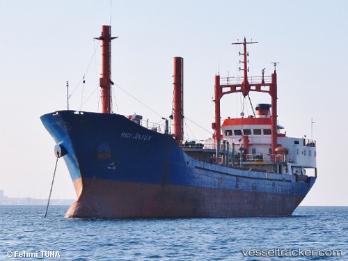
Vessel Haci Rustu K IMO: 7615969, MMSI: 271002018 General Cargo Ship
UTC, 40.87299, 29.19216, course: 339, speed: 0.2
UTC, 40.87285, 29.19179, course: 351, speed: 0.1
2026-01-16 12:19:35 UTC, 40.87289, 29.19050, course: 49, speed: 0.3
Live AIS position:
UTC. Near PENDIK),
updated 2026-01-16 12:19:35 UTC.
Find the position of the vessel Haci Rustu K on the map. The latter are known coordinates and path.
marine traffic ship tracker show on live map
The current position of vessel Haci Rustu K is 40.87289 lat / 29.19050 lng. Updated: 2026-01-16 12:19:35 UTCCurrently sailing under the flag of Turkey
Haci Rustu K built in 1987 year
Deadweight:
2970 tDetails:
Last coordinates of the vessel:
UTC, 40.87306, 29.19249, course: 328, speed: 0.1UTC, 40.87299, 29.19216, course: 339, speed: 0.2
UTC, 40.87285, 29.19179, course: 351, speed: 0.1
2026-01-16 12:19:35 UTC, 40.87289, 29.19050, course: 49, speed: 0.3