 vesseltracker.com
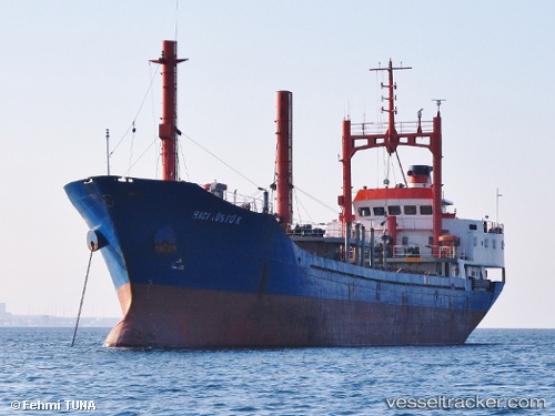
Find the position of the vessel Haci Rustu K on the map. The latter are known coordinates and path.
marine traffic ship tracker show on live map
The current position of vessel Haci Rustu K is 40.6686 lat / 27.6534 lng. Updated: 2025-07-18 10:16:31 UTCCurrently sailing under the flag of Turkey
Haci Rustu K built in 1987 year
Deadweight:
2970 tDetails:
Last coordinates of the vessel:
UTC, 40.6682, 27.6535, course: 50, speed: 0.1UTC, 40.6683, 27.6533, course: 58, speed: 0.2
UTC, 40.6685, 27.6533, course: 77, speed: 0.1
2025-07-18 10:16:31 UTC, 40.6686, 27.6534, course: 96, speed: 0.1