 vesseltracker.com
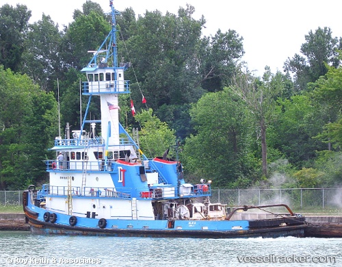
Vessel Allie B IMO: 7626279, MMSI: 367137180 Tug
UTC, 34.11694, -77.93632, course: 5, speed: 6.3
UTC, 34.13667, -77.94167, course: -1, speed: 1
2026-01-16 17:29:08 UTC, 34.13907, -77.94619, course: 110, speed: 0
Live AIS position:
UTC. Near Wilmington),
updated 2026-01-16 17:29:08 UTC.
Find the position of the vessel Allie B on the map. The latter are known coordinates and path.
marine traffic ship tracker show on live map
The current position of vessel Allie B is 34.13907 lat / -77.94619 lng. Updated: 2026-01-16 17:29:08 UTCCurrently sailing under the flag of USA
Allie B built in 1977 year
Details:
Last coordinates of the vessel:
UTC, 34.04465, -77.94254, course: 210, speed: 0UTC, 34.11694, -77.93632, course: 5, speed: 6.3
UTC, 34.13667, -77.94167, course: -1, speed: 1
2026-01-16 17:29:08 UTC, 34.13907, -77.94619, course: 110, speed: 0