 vesseltracker.com
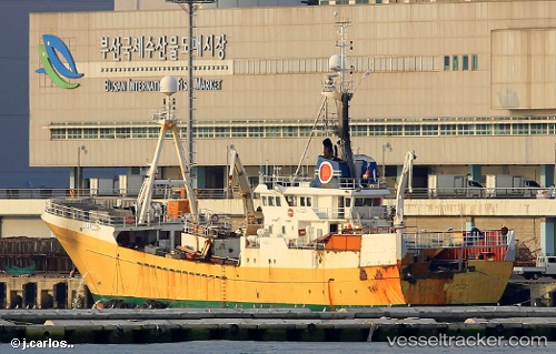
Vessel Olafsson IMO: 7704708, MMSI: 273384310 Fish Carrier
UTC, 60.48280, 174.51595, course: 222, speed: 12.1
UTC, 60.35090, 174.20699, course: 219, speed: 12.6
2026-01-16 16:57:33 UTC, 60.34743, 174.19901, course: 218, speed: 12.5
Live AIS position:
UTC. 108 nm S of Khatyrka),
updated 2026-01-16 16:57:33 UTC.
Find the position of the vessel Olafsson on the map. The latter are known coordinates and path.
marine traffic ship tracker show on live map
The current position of vessel Olafsson is 60.34743 lat / 174.19901 lng. Updated: 2026-01-16 16:57:33 UTCCurrently sailing under the flag of Russia
Olafsson built in 1978 year
Deadweight:
1552 tDetails:
Last coordinates of the vessel:
UTC, 60.48667, 174.52499, course: -1, speed: 12UTC, 60.48280, 174.51595, course: 222, speed: 12.1
UTC, 60.35090, 174.20699, course: 219, speed: 12.6
2026-01-16 16:57:33 UTC, 60.34743, 174.19901, course: 218, speed: 12.5