 vesseltracker.com
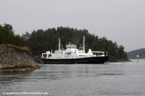
Find the position of the vessel Hordaland on the map. The latter are known coordinates and path.
marine traffic ship tracker show on live map
The current position of vessel Hordaland is 59.342979431152344 lat / 5.280328273773193 lng. Updated: 2025-08-29 14:52:27 UTCCurrently sailing under the flag of Norway
Hordaland built in 1979 year
Deadweight:
150 tDetails:
Last coordinates of the vessel:
2025-08-29 14:52:27 UTC, 59.342979431152344, 5.280328273773193, course: 90, speed: 0