 vesseltracker.com
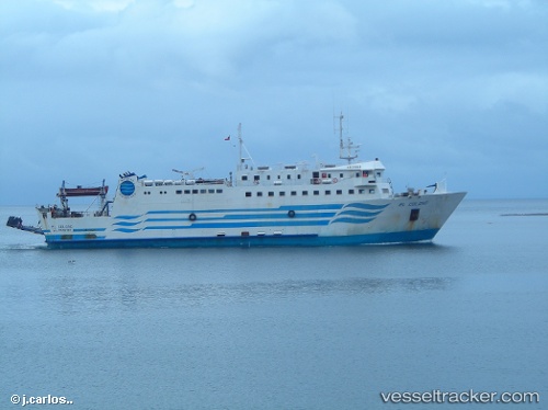
Vessel Isla Tenglo IMO: 7825629, MMSI: 725000965 Passenger Ro Ro Cargo Ship
UTC, -41.50601, -72.99517, course: 184, speed: 0
UTC, -41.50602, -72.99517, course: 182, speed: 0
2026-01-17 18:17:47 UTC, -41.50602, -72.99517, course: 183, speed: 0
Live AIS position:
UTC. Near Puerto Montt),
updated 2026-01-17 18:17:47 UTC.
Find the position of the vessel Isla Tenglo on the map. The latter are known coordinates and path.
marine traffic ship tracker show on live map
The current position of vessel Isla Tenglo is -41.50602 lat / -72.99517 lng. Updated: 2026-01-17 18:17:47 UTCDetails:
Last coordinates of the vessel:
UTC, -41.50601, -72.99515, course: 183, speed: 0UTC, -41.50601, -72.99517, course: 184, speed: 0
UTC, -41.50602, -72.99517, course: 182, speed: 0
2026-01-17 18:17:47 UTC, -41.50602, -72.99517, course: 183, speed: 0