 vesseltracker.com
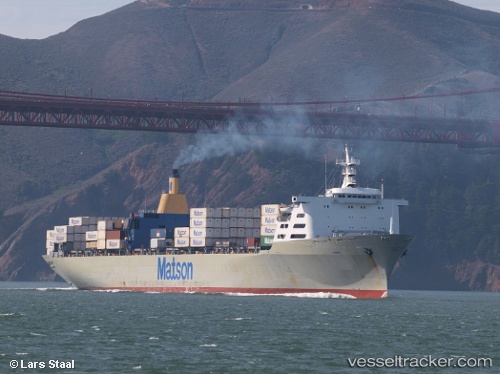
Vessel Manoa IMO: 7907984, MMSI: 366562000 Container Ship
UTC, 1.27891, 103.94943, course: 277, speed: 0
UTC, 1.27833, 103.94833, course: -1, speed: 0
2026-01-16 10:20:57 UTC, 1.27790, 103.94840, course: 67, speed: 0.1
Live AIS position:
UTC. Near Tampines),
updated 2026-01-16 10:20:57 UTC.
Find the position of the vessel Manoa on the map. The latter are known coordinates and path.
marine traffic ship tracker show on live map
The current position of vessel Manoa is 1.27790 lat / 103.94840 lng. Updated: 2026-01-16 10:20:57 UTCCurrently sailing under the flag of USA
Details:
Last coordinates of the vessel:
UTC, 1.27833, 103.94833, course: -1, speed: 0UTC, 1.27891, 103.94943, course: 277, speed: 0
UTC, 1.27833, 103.94833, course: -1, speed: 0
2026-01-16 10:20:57 UTC, 1.27790, 103.94840, course: 67, speed: 0.1