 vesseltracker.com
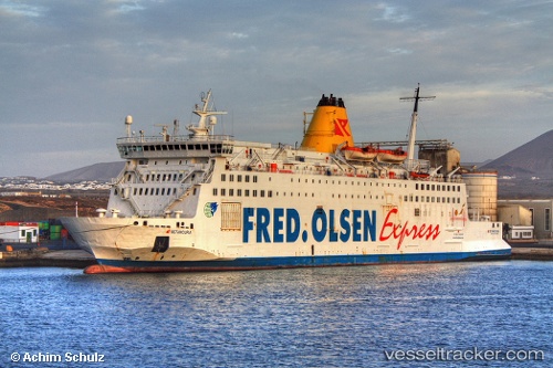
Vessel 210277000 IMO: 8000226, MMSI: 210277000
UTC, 36.13197, -5.43718, course: 54, speed: 0
UTC, 36.13376, -5.43466, course: 36, speed: 5
2026-01-15 09:58:25 UTC, 35.87993, -5.51602, course: 284, speed: 0
Live AIS position:
UTC. Near TANGER MED),
updated 2026-01-15 09:58:25 UTC.
Find the position of the vessel 210277000 on the map. The latter are known coordinates and path.
marine traffic ship tracker show on live map
The current position of vessel 210277000 is 35.87993 lat / -5.51602 lng. Updated: 2026-01-15 09:58:25 UTCDetails:
Last coordinates of the vessel:
UTC, 36.13198, -5.43717, course: 54, speed: 0UTC, 36.13197, -5.43718, course: 54, speed: 0
UTC, 36.13376, -5.43466, course: 36, speed: 5
2026-01-15 09:58:25 UTC, 35.87993, -5.51602, course: 284, speed: 0