 vesseltracker.com
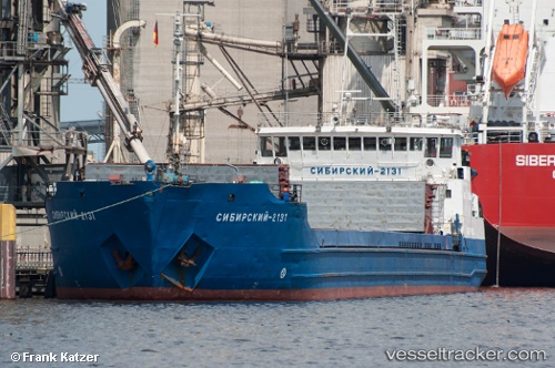
Vessel Lady L IMO: 8104187, MMSI: 273312800 Multi Purpose Carrier
UTC, 42.50833, 48.29167, course: -1, speed: 7
UTC, 42.50833, 48.29167, course: -1, speed: 7
2026-01-17 01:20:52 UTC, 42.50833, 48.29167, course: -1, speed: 7
Live AIS position:
UTC. 20 nm E of Izberbash),
updated 2026-01-17 01:20:52 UTC.
Find the position of the vessel Lady L on the map. The latter are known coordinates and path.
marine traffic ship tracker show on live map
The current position of vessel Lady L is 42.50833 lat / 48.29167 lng. Updated: 2026-01-17 01:20:52 UTCDetails:
Last coordinates of the vessel:
UTC, 42.50833, 48.29167, course: -1, speed: 7UTC, 42.50833, 48.29167, course: -1, speed: 7
UTC, 42.50833, 48.29167, course: -1, speed: 7
2026-01-17 01:20:52 UTC, 42.50833, 48.29167, course: -1, speed: 7