 vesseltracker.com
Find the position of the vessel '450613000' on the map. The latter are known coordinates and path.
marine traffic ship tracker show on live map
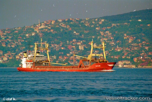
The current position of vessel '450613000' is 36.6111 lat / 36.1629 lng. Updated: 2025-02-08 20:22:17 UTCPort of registry:
George Town (capital and largest city of the Cayman Islands)Gross tonnage:
3134Service entry:
1983-01-01T00:00:00ZManufacturer:
Svendborg Skibsværft (shipyard in Svendborg, Denmark)
Details:
Last coordinates of the vessel:
UTC, 36.5004, 35.8619, course: -1, speed: 6.1UTC, 36.5732, 35.975, course: -1, speed: 6.3
UTC, 36.6119, 36.1615, course: -1, speed: 1.2
2025-02-08 20:22:17 UTC, 36.6111, 36.1629, course: -1, speed: 0.2