 vesseltracker.com
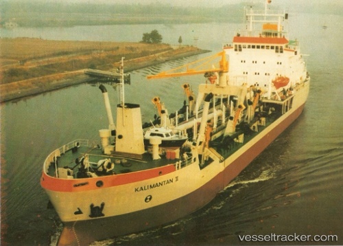
Find the position of the vessel Tshd Kalimantan Ii on the map. The latter are known coordinates and path.
marine traffic ship tracker show on live map
The current position of vessel Tshd Kalimantan Ii is -7.1813066666667 lat / 112.69656333333 lng. Updated: 2025-11-04 14:42:01 UTCDetails:
Last coordinates of the vessel:
UTC, -7.1811416666667, 112.69772666667, course: 161, speed: 0.3UTC, -7.1816116666667, 112.69691333333, course: 120, speed: 0.1
UTC, -7.1814516666667, 112.69682, course: 122, speed: 0
2025-11-04 14:42:01 UTC, -7.1813066666667, 112.69656333333, course: 122, speed: 0.1