 vesseltracker.com
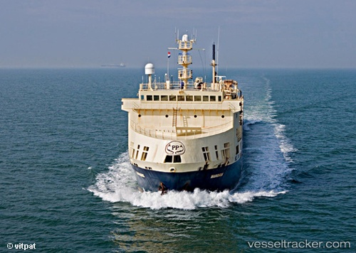
Vessel Margiris IMO: 8301187, MMSI: 277330000 Fish Carrier
UTC, 20.05167, -17.51500, course: -1, speed: 10
UTC, 20.27705, -17.53041, course: 3, speed: 7.1
2026-01-31 11:48:40 UTC, 20.30167, -17.54833, course: -1, speed: 3
Live AIS position:
UTC. 35 nm SW of Port Etienne),
updated 2026-01-31 11:48:40 UTC.
Find the position of the vessel Margiris on the map. The latter are known coordinates and path.
marine traffic ship tracker show on live map
The current position of vessel Margiris is 20.30167 lat / -17.54833 lng. Updated: 2026-01-31 11:48:40 UTCDetails:
Last coordinates of the vessel:
UTC, 20.08802, -17.54960, course: 359, speed: 4.8UTC, 20.05167, -17.51500, course: -1, speed: 10
UTC, 20.27705, -17.53041, course: 3, speed: 7.1
2026-01-31 11:48:40 UTC, 20.30167, -17.54833, course: -1, speed: 3