 vesseltracker.com
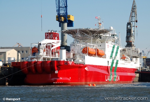
Find the position of the vessel Safe Swift on the map. The latter are known coordinates and path.
marine traffic ship tracker show on live map
The current position of vessel Safe Swift is 7.96067 lat / -56.7368 lng. Updated: 2025-08-04 18:07:10 UTCCurrently sailing under the flag of Bahamas
Safe Swift built in 1985 year
Deadweight:
9373 tDetails:
Last coordinates of the vessel:
UTC, 7.95683, -56.7188, course: 60, speed: 0.3UTC, 7.95667, -56.7192, course: 99, speed: 0.5
UTC, 7.95717, -56.7207, course: 96, speed: 3.2
2025-08-04 18:07:10 UTC, 7.96067, -56.7368, course: 128, speed: 2.6