 vesseltracker.com
Find the position of the vessel INANDI on the map. The latter are known coordinates and path.
marine traffic ship tracker show on live map
The current position of vessel INANDI is 37.68261 lat / 23.75675 lng. Updated: 2025-10-26 08:58:28 UTCCurrently sailing under the flag of Panama
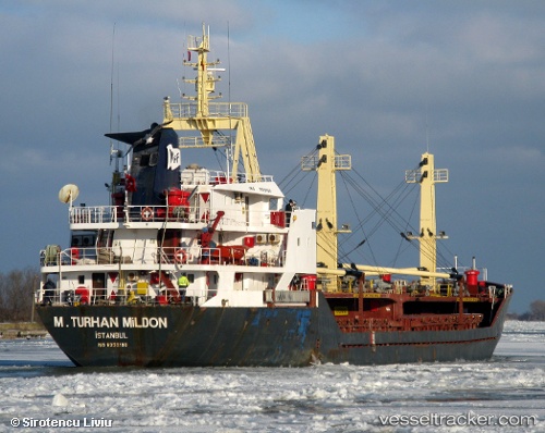
INANDI built in 1984 year
Deadweight:
3465 tDetails:
Last coordinates of the vessel:
UTC, 37.65832, 24.17607, course: 229, speed: 7.8UTC, 37.62672, 24.12191, course: 255, speed: 7.6
UTC, 37.62513, 24.01016, course: 271, speed: 7.7
2025-10-26 08:58:28 UTC, 37.68261, 23.75675, course: 333, speed: 8.1
The ship also appears on the maps: