 vesseltracker.com
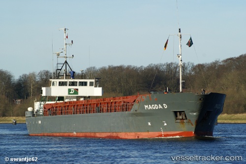
Vessel Darwin IMO: 8407228, MMSI: 304218000 Multi Purpose Carrier
UTC, 60.03069, 29.49079, course: 111, speed: 53.5
UTC, 60.03069, 29.49079, course: 111, speed: 53.5
2026-01-15 07:31:58 UTC, 60.09148, 29.32345, course: 115, speed: 0.3
Live AIS position:
UTC. 14 nm NW of KRONSHTADT),
updated 2026-01-15 07:31:58 UTC.
Find the position of the vessel Darwin on the map. The latter are known coordinates and path.
marine traffic ship tracker show on live map
The current position of vessel Darwin is 60.09148 lat / 29.32345 lng. Updated: 2026-01-15 07:31:58 UTCDetails:
Last coordinates of the vessel:
UTC, 60.03069, 29.49079, course: 111, speed: 53.5UTC, 60.03069, 29.49079, course: 111, speed: 53.5
UTC, 60.03069, 29.49079, course: 111, speed: 53.5
2026-01-15 07:31:58 UTC, 60.09148, 29.32345, course: 115, speed: 0.3