 vesseltracker.com
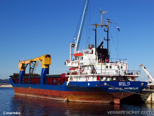
Vessel Ranyus Sea IMO: 8407448, MMSI: 667001617 General Cargo Ship
UTC, 45.08543, 37.33049, course: 73, speed: 54.7
UTC, 44.93073, 36.70693, course: 67, speed: 12.5
2026-01-16 22:00:30 UTC, 45.08685, 37.17452, course: 53, speed: 9.2
Live AIS position:
UTC. 14 nm SW of Temryuk),
updated 2026-01-16 22:00:30 UTC.
Find the position of the vessel Ranyus Sea on the map. The latter are known coordinates and path.
marine traffic ship tracker show on live map
The current position of vessel Ranyus Sea is 45.08685 lat / 37.17452 lng. Updated: 2026-01-16 22:00:30 UTCCurrently sailing under the flag of Sierra Leone
Ranyus Sea built in 1985 year
Deadweight:
3732 tDetails:
Last coordinates of the vessel:
UTC, 45.24335, 36.53173, course: 71, speed: 6.1UTC, 45.08543, 37.33049, course: 73, speed: 54.7
UTC, 44.93073, 36.70693, course: 67, speed: 12.5
2026-01-16 22:00:30 UTC, 45.08685, 37.17452, course: 53, speed: 9.2