 vesseltracker.com
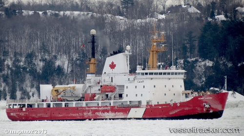
Find the position of the vessel Ccgs Henry Larsen on the map. The latter are known coordinates and path.
marine traffic ship tracker show on live map
The current position of vessel Ccgs Henry Larsen is 47.55833 lat / -52.70667 lng. Updated: 2025-11-06 19:39:28 UTCCurrently sailing under the flag of Canada
Ccgs Henry Larsen built in 1988 year
Deadweight:
2478 tDetails:
Last coordinates of the vessel:
UTC, 47.55833, -52.70667, course: -1, speed: 0UTC, 47.55833, -52.70667, course: -1, speed: 0
UTC, 47.55833, -52.70667, course: -1, speed: 0
2025-11-06 19:39:28 UTC, 47.55833, -52.70667, course: -1, speed: 0
The ship also appears on the maps: