 vesseltracker.com
Find the position of the vessel YAMAL IRBIS on the map. The latter are known coordinates and path.
marine traffic ship tracker show on live map
The current position of vessel YAMAL IRBIS is 74.51699 lat / 142.07515 lng. Updated: 2025-10-18 16:03:09 UTCCurrently sailing under the flag of Russia
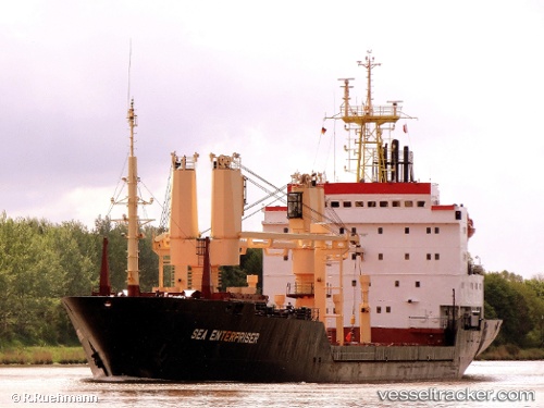
YAMAL IRBIS built in 1998 year
Deadweight:
7049 tDetails:
Last coordinates of the vessel:
UTC, 74.31500, 146.39166, course: -1, speed: 10UTC, 74.38545, 144.90018, course: 279, speed: 10.9
UTC, 74.45325, 143.46559, course: 278, speed: 10.5
2025-10-18 16:03:09 UTC, 74.51699, 142.07515, course: 280, speed: 10.6
The ship also appears on the maps:
- Карта СМП Певек-Билибино
- Northern Sea Route. General Cargo Ships & Russian icebreakers
- Навигация Певек 2022
- Autumn2022
- Суда на потоке СМП
- NSR
- Дисп АО ОЭК
- Дисп бухта Север АО ОЭК
- ДИСП бухта Север АО ОЭК 1
- bm
- СМП 111
- СМП 555
- СМП999
- СМП999
- КАРТА СМП-БС 1 (12.02.25г.)
- КАРТА СМП-БС -2 (13.02.2025)
- Карта СМП-БС-3 (17.02.2025)
- СМП-БС (04.03.2025)
- СМП-Бухта Север
- Бухта Север - СМП(апрель2025)
- Бухта Север - СМП(апрель2025)
- СМП