 vesseltracker.com
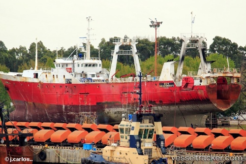
Vessel Verdel IMO: 8512657, MMSI: 701045000 Fishing Vessel
UTC, -45.81500, -61.85500, course: -1, speed: 4
UTC, -45.88500, -61.85667, course: -1, speed: 4
2026-01-16 10:07:53 UTC, -45.93667, -61.85667, course: -1, speed: 3
Live AIS position:
UTC. 199 nm NE of Puerto Deseado),
updated 2026-01-16 10:07:53 UTC.
Find the position of the vessel Verdel on the map. The latter are known coordinates and path.
marine traffic ship tracker show on live map
The current position of vessel Verdel is -45.93667 lat / -61.85667 lng. Updated: 2026-01-16 10:07:53 UTCDetails:
Last coordinates of the vessel:
UTC, -45.94167, -61.85167, course: -1, speed: 6UTC, -45.81500, -61.85500, course: -1, speed: 4
UTC, -45.88500, -61.85667, course: -1, speed: 4
2026-01-16 10:07:53 UTC, -45.93667, -61.85667, course: -1, speed: 3