 vesseltracker.com
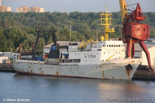
Vessel Atlantida IMO: 8607000, MMSI: 273242100 Fishing Vessel
UTC, 50.14308, -0.80693, course: 79, speed: 6.3
UTC, 50.21627, -0.34192, course: 74, speed: 7.5
2026-01-17 03:28:08 UTC, 50.26073, -0.07592, course: 74, speed: 8.4
Live AIS position:
UTC. 31 nm S of Seaford),
updated 2026-01-17 03:28:08 UTC.
Find the position of the vessel Atlantida on the map. The latter are known coordinates and path.
marine traffic ship tracker show on live map
The current position of vessel Atlantida is 50.26073 lat / -0.07592 lng. Updated: 2026-01-17 03:28:08 UTCDetails:
Last coordinates of the vessel:
UTC, 50.12154, -0.93490, course: 78, speed: 6.8UTC, 50.14308, -0.80693, course: 79, speed: 6.3
UTC, 50.21627, -0.34192, course: 74, speed: 7.5
2026-01-17 03:28:08 UTC, 50.26073, -0.07592, course: 74, speed: 8.4