 vesseltracker.com
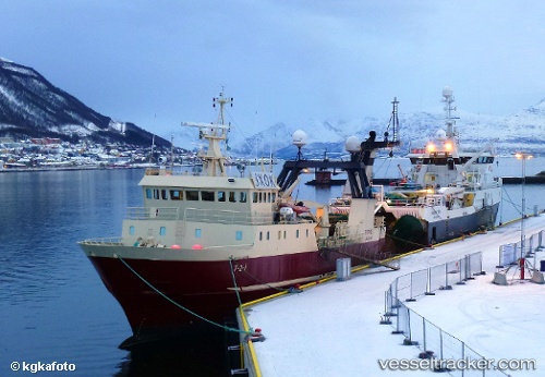
Vessel Kallista IMO: 8615306, MMSI: 273381970 Fishing Vessel
UTC, 57.95667, 152.17500, course: -1, speed: 3
UTC, 57.96967, 152.13809, course: 298, speed: 3
2026-01-17 18:51:23 UTC, 57.96967, 152.13809, course: 298, speed: 3
Live AIS position:
UTC. 60 nm SE of Vreta Kloster),
updated 2026-01-17 18:51:23 UTC.
Find the position of the vessel Kallista on the map. The latter are known coordinates and path.
marine traffic ship tracker show on live map
The current position of vessel Kallista is 57.96967 lat / 152.13809 lng. Updated: 2026-01-17 18:51:23 UTCDetails:
Last coordinates of the vessel:
UTC, 57.95333, 152.18832, course: -1, speed: 3UTC, 57.95667, 152.17500, course: -1, speed: 3
UTC, 57.96967, 152.13809, course: 298, speed: 3
2026-01-17 18:51:23 UTC, 57.96967, 152.13809, course: 298, speed: 3