 vesseltracker.com
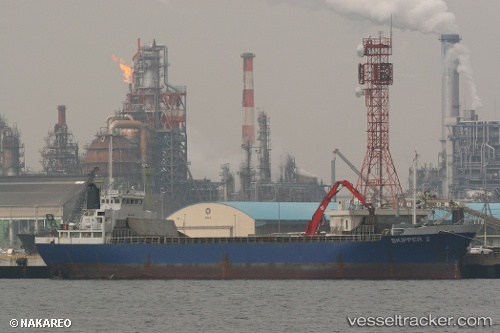
Vessel Quan Fu 88 IMO: 8622660, MMSI: 457462000 General Cargo Ship
UTC, 38.88504, 121.95993, course: 63, speed: 0.9
UTC, 38.88470, 121.96120, course: 17, speed: 0.3
2026-01-16 06:26:01 UTC, 38.88475, 121.96219, course: 315, speed: 0.5
Live AIS position:
UTC. 15 nm E of Dalian),
updated 2026-01-16 06:26:01 UTC.
Find the position of the vessel Quan Fu 88 on the map. The latter are known coordinates and path.
marine traffic ship tracker show on live map
The current position of vessel Quan Fu 88 is 38.88475 lat / 121.96219 lng. Updated: 2026-01-16 06:26:01 UTCDetails:
Last coordinates of the vessel:
UTC, 38.88479, 121.96066, course: 32, speed: 0.6UTC, 38.88504, 121.95993, course: 63, speed: 0.9
UTC, 38.88470, 121.96120, course: 17, speed: 0.3
2026-01-16 06:26:01 UTC, 38.88475, 121.96219, course: 315, speed: 0.5