 vesseltracker.com
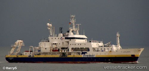
Find the position of the vessel L ATALANTE on the map. The latter are known coordinates and path.
marine traffic ship tracker show on live map
The current position of vessel L ATALANTE is 46.35167 lat / -44.55333 lng. Updated: 2025-10-01 23:55:54 UTCCurrently sailing under the flag of France
L ATALANTE built in 1990 year
Deadweight:
1200 tDetails:
Last coordinates of the vessel:
UTC, 46.33667, -44.53667, course: -1, speed: 1UTC, 46.34167, -44.54167, course: -1, speed: 1
UTC, 46.34833, -44.54833, course: -1, speed: 0
2025-10-01 23:55:54 UTC, 46.35167, -44.55333, course: -1, speed: 0