 vesseltracker.com
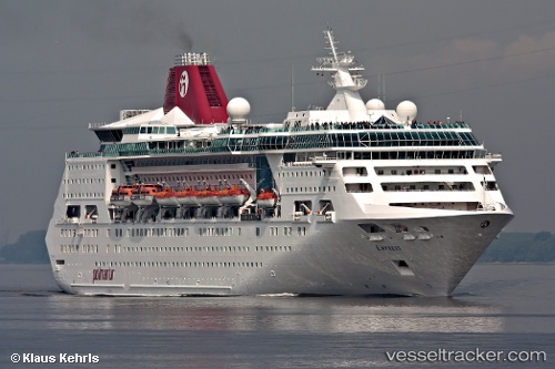
Find the position of the vessel EMPRESS OF THE SEAS on the map. The latter are known coordinates and path.
marine traffic ship tracker show on live map
The current position of vessel EMPRESS OF THE SEAS is 18.50489 lat / 72.49296 lng. Updated: 2025-11-03 13:05:48 UTCCurrently sailing under the flag of Bahamas
EMPRESS OF THE SEAS built in 1990 year
Deadweight:
4978 tDetails:
Last coordinates of the vessel:
UTC, 18.84763, 72.61560, course: 275, speed: 16.1UTC, 18.63581, 72.51537, course: 196, speed: 15.5
UTC, 18.50489, 72.49296, course: 190, speed: 15.5
2025-11-03 13:05:48 UTC, 18.50489, 72.49296, course: 190, speed: 15.5