 vesseltracker.com
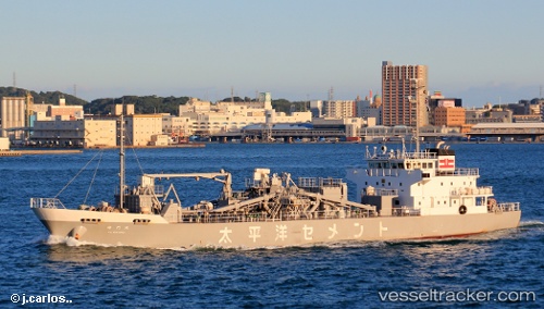
Vessel Kaimonmaru IMO: 8743359, MMSI: 431000938 Cement Carrier
UTC, 34.02155, 132.75043, course: 32, speed: 13.1
UTC, 34.06591, 133.02963, course: 303, speed: 0.1
2026-01-18 13:31:59 UTC, 34.06605, 133.02972, course: 303, speed: 0
Live AIS position:
UTC. Near Imabari),
updated 2026-01-18 13:31:59 UTC.
Find the position of the vessel Kaimonmaru on the map. The latter are known coordinates and path.
marine traffic ship tracker show on live map
The current position of vessel Kaimonmaru is 34.06605 lat / 133.02972 lng. Updated: 2026-01-18 13:31:59 UTCCurrently sailing under the flag of Japan
Details:
Last coordinates of the vessel:
UTC, 33.88803, 132.61351, course: 43, speed: 13UTC, 34.02155, 132.75043, course: 32, speed: 13.1
UTC, 34.06591, 133.02963, course: 303, speed: 0.1
2026-01-18 13:31:59 UTC, 34.06605, 133.02972, course: 303, speed: 0