 vesseltracker.com
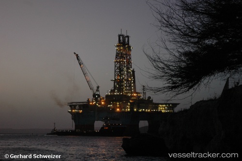
Vessel Maersk Developer IMO: 8768361, MMSI: 220627000 Drilling Ship
Live AIS position:
UTC. 99 nm SE of Arembepe),
updated 2024-02-28 18:31:10 UTC.
Find the position of the vessel Maersk Developer on the map. The latter are known coordinates and path.
marine traffic ship tracker show on live map
The current position of vessel Maersk Developer is -13.99922 lat / -37.05550 lng. Updated: 2024-02-28 18:31:10 UTCDetails:
Last coordinates of the vessel:
2024-02-28 18:31:10 UTC, -13.99922, -37.05550, course: 0, speed: 0