 vesseltracker.com
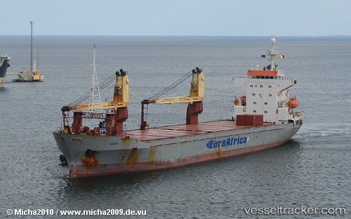
Find the position of the vessel NOUR ELHUDA on the map. The latter are known coordinates and path.
marine traffic ship tracker show on live map
The current position of vessel NOUR ELHUDA is 24.54793 lat / 56.72664 lng. Updated: 2025-09-21 15:21:00 UTCCurrently sailing under the flag of Comoros
Details:
Last coordinates of the vessel:
2025-09-21 15:21:00 UTC, 24.54793, 56.72664, course: 238, speed: 0The ship also appears on the maps: