 vesseltracker.com
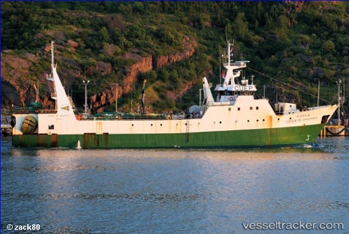
Find the position of the vessel Cidade De Amarante on the map. The latter are known coordinates and path.
marine traffic ship tracker show on live map
The current position of vessel Cidade De Amarante is 46.76676 lat / -45.65345 lng. Updated: 2025-11-07 04:49:32 UTCDetails:
Last coordinates of the vessel:
UTC, 46.87642, -45.67290, course: -1, speed: 1UTC, 46.83612, -45.66781, course: -1, speed: 1.5
UTC, 46.79766, -45.66179, course: -1, speed: 1.9
2025-11-07 04:49:32 UTC, 46.76676, -45.65345, course: -1, speed: 1.5