 vesseltracker.com
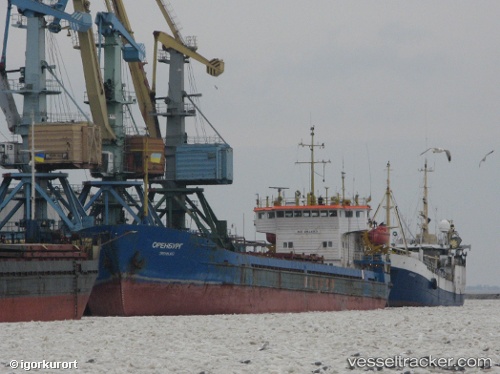
Vessel Novoshakhtinsk IMO: 8844153, MMSI: 273440590 General Cargo Ship
UTC, 45.31578, 36.49798, course: 54, speed: 70.1
UTC, 45.31578, 36.49798, course: 54, speed: 70.1
2026-01-17 08:57:54 UTC, 45.31578, 36.49798, course: 54, speed: 70.1
Live AIS position:
UTC. Near Kerch),
updated 2026-01-17 08:57:54 UTC.
Find the position of the vessel Novoshakhtinsk on the map. The latter are known coordinates and path.
marine traffic ship tracker show on live map
The current position of vessel Novoshakhtinsk is 45.31578 lat / 36.49798 lng. Updated: 2026-01-17 08:57:54 UTCCurrently sailing under the flag of
Novoshakhtinsk built in 0 year
Deadweight:
0 tDetails:
Last coordinates of the vessel:
UTC, 44.96452, 36.57843, course: 124, speed: 0.5UTC, 45.31578, 36.49798, course: 54, speed: 70.1
UTC, 45.31578, 36.49798, course: 54, speed: 70.1
2026-01-17 08:57:54 UTC, 45.31578, 36.49798, course: 54, speed: 70.1