 vesseltracker.com
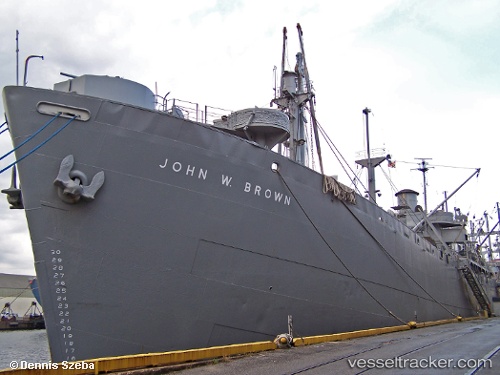
Vessel John W Brown IMO: 8862739, MMSI: 303348100 General Cargo Ship
UTC, 39.25949, -76.55612, course: -1, speed: 0
UTC, 39.25946, -76.55611, course: -1, speed: 0
2026-02-15 04:13:35 UTC, 39.25971, -76.55612, course: -1, speed: 0
Live AIS position:
UTC. Near Baltimore),
updated 2026-02-15 04:13:35 UTC.
Find the position of the vessel John W Brown on the map. The latter are known coordinates and path.
marine traffic ship tracker show on live map
The current position of vessel John W Brown is 39.25971 lat / -76.55612 lng. Updated: 2026-02-15 04:13:35 UTCCurrently sailing under the flag of USA
Details:
Last coordinates of the vessel:
UTC, 39.25944, -76.55614, course: -1, speed: 0UTC, 39.25949, -76.55612, course: -1, speed: 0
UTC, 39.25946, -76.55611, course: -1, speed: 0
2026-02-15 04:13:35 UTC, 39.25971, -76.55612, course: -1, speed: 0