 vesseltracker.com
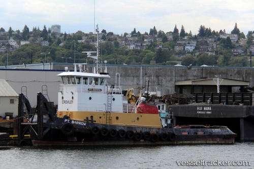
Vessel Islandwind IMO: 8867894, MMSI: 367584070 Tug
UTC, 48.04166, -122.39176, course: 341, speed: 1.3
UTC, 48.04004, -122.40340, course: 298, speed: 0.3
2026-01-17 19:26:23 UTC, 48.03974, -122.40346, course: 338, speed: 0
Live AIS position:
UTC. Near Tulalip),
updated 2026-01-17 19:26:23 UTC.
Find the position of the vessel Islandwind on the map. The latter are known coordinates and path.
marine traffic ship tracker show on live map
The current position of vessel Islandwind is 48.03974 lat / -122.40346 lng. Updated: 2026-01-17 19:26:23 UTCDetails:
Last coordinates of the vessel:
UTC, 48.04041, -122.40045, course: 305, speed: 0UTC, 48.04166, -122.39176, course: 341, speed: 1.3
UTC, 48.04004, -122.40340, course: 298, speed: 0.3
2026-01-17 19:26:23 UTC, 48.03974, -122.40346, course: 338, speed: 0