 vesseltracker.com
Find the position of the vessel VITUS BERING on the map. The latter are known coordinates and path.
marine traffic ship tracker show on live map
The current position of vessel VITUS BERING is 70.85278 lat / 40.53702 lng. Updated: 2025-11-01 05:41:12 UTCCurrently sailing under the flag of Russia
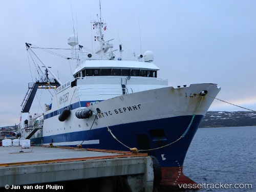
VITUS BERING built in 1990 year
Deadweight:
1062 tDetails:
Last coordinates of the vessel:
UTC, 70.90032, 40.55333, course: 14, speed: 4.3UTC, 70.97500, 40.61667, course: -1, speed: 11
UTC, 70.87833, 40.54833, course: -1, speed: 3
2025-11-01 05:41:12 UTC, 70.85278, 40.53702, course: 171, speed: 3.8
The ship also appears on the maps: