 vesseltracker.com
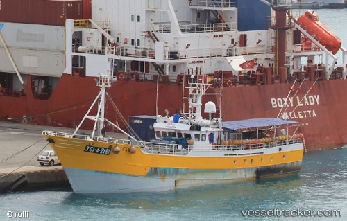
Vessel Cedes IMO: 8903583, MMSI: 224261000 Fishing Vessel
UTC, -0.58134, -15.26697, course: 158, speed: 5.9
UTC, -0.77689, -15.20735, course: 161, speed: 5.8
2026-01-18 20:29:22 UTC, -0.80202, -15.20032, course: 159, speed: 6.8
Live AIS position:
UTC. Open sea, approx. 505 nm off the nearest listed port),
updated 2026-01-18 20:29:22 UTC.
Find the position of the vessel Cedes on the map. The latter are known coordinates and path.
marine traffic ship tracker show on live map
The current position of vessel Cedes is -0.80202 lat / -15.20032 lng. Updated: 2026-01-18 20:29:22 UTCDetails:
Last coordinates of the vessel:
UTC, -0.56691, -15.27145, course: 159, speed: 6.2UTC, -0.58134, -15.26697, course: 158, speed: 5.9
UTC, -0.77689, -15.20735, course: 161, speed: 5.8
2026-01-18 20:29:22 UTC, -0.80202, -15.20032, course: 159, speed: 6.8