 vesseltracker.com
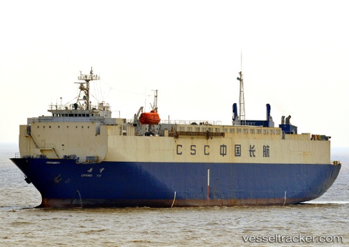
Find the position of the vessel YENISEY on the map. The latter are known coordinates and path.
marine traffic ship tracker show on live map
The current position of vessel YENISEY is 26.804994583129883 lat / 119.7057876586914 lng. Updated: 2025-09-08 02:05:37 UTCCurrently sailing under the flag of Sierra Leone
YENISEY built in 1990 year
Deadweight:
5228 tDetails:
Last coordinates of the vessel:
UTC, 26.804994583129883, 119.7057876586914, course: 50, speed: 0UTC, 26.804994583129883, 119.7057876586914, course: 50, speed: 0
UTC, 26.804994583129883, 119.7057876586914, course: 50, speed: 0
2025-09-08 02:05:37 UTC, 26.804994583129883, 119.7057876586914, course: 50, speed: 0
The ship also appears on the maps: