 vesseltracker.com
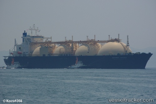
Vessel CNTIC VPOWER ENERGY IMO: 8913174, MMSI: 636019750 FSO, Gas
UTC, 16.65292, 96.25994, course: 142, speed: 1.2
UTC, 16.65291, 96.25999, course: 142, speed: 0
2026-01-17 16:24:04 UTC, 16.65293, 96.25999, course: 142, speed: 0.2
Live AIS position:
UTC. Near Thilawa),
updated 2026-01-17 16:24:04 UTC.
Find the position of the vessel CNTIC VPOWER ENERGY on the map. The latter are known coordinates and path.
marine traffic ship tracker show on live map
The current position of vessel CNTIC VPOWER ENERGY is 16.65293 lat / 96.25999 lng. Updated: 2026-01-17 16:24:04 UTCCurrently sailing under the flag of Liberia
CNTIC VPOWER ENERGY built in 1992 year
Deadweight:
67003 tDetails:
Last coordinates of the vessel:
UTC, 16.65291, 96.25996, course: 142, speed: 0UTC, 16.65292, 96.25994, course: 142, speed: 1.2
UTC, 16.65291, 96.25999, course: 142, speed: 0
2026-01-17 16:24:04 UTC, 16.65293, 96.25999, course: 142, speed: 0.2