 vesseltracker.com
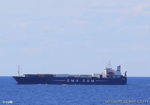
Vessel Aknoul IMO: 8917883, MMSI: 311045500 Ro Ro Cargo Ship
UTC, 34.82167, -6.89667, course: -1, speed: 12
UTC, 34.82167, -6.89667, course: -1, speed: 12
2026-01-16 16:23:20 UTC, 35.02167, -6.75500, course: -1, speed: 13
Live AIS position:
UTC. 25 nm W of Moulay Bou Selham),
updated 2026-01-16 16:23:20 UTC.
Find the position of the vessel Aknoul on the map. The latter are known coordinates and path.
marine traffic ship tracker show on live map
The current position of vessel Aknoul is 35.02167 lat / -6.75500 lng. Updated: 2026-01-16 16:23:20 UTCDetails:
Last coordinates of the vessel:
UTC, 34.50667, -7.11667, course: -1, speed: 12UTC, 34.82167, -6.89667, course: -1, speed: 12
UTC, 34.82167, -6.89667, course: -1, speed: 12
2026-01-16 16:23:20 UTC, 35.02167, -6.75500, course: -1, speed: 13