 vesseltracker.com
Live AIS position:
33.77085° N, 118.21170° W UTC. Near Long Beach),
updated 2025-11-20 03:59:06 UTC.
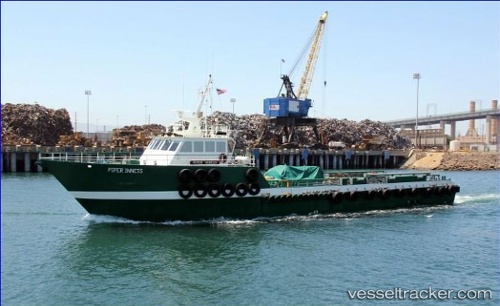
Find the position of the vessel Piper Inness on the map. The latter are known coordinates and path.
marine traffic ship tracker show on live map
The current position of vessel Piper Inness is 33.77085 lat / -118.21170 lng. Updated: 2025-11-20 03:59:06 UTCCurrently sailing under the flag of USA
Details:
Last coordinates of the vessel:
UTC, 33.77087, -118.21171, course: 61, speed: 0UTC, 33.77088, -118.21172, course: 61, speed: 0
UTC, 33.77088, -118.21172, course: 62, speed: 0
2025-11-20 03:59:06 UTC, 33.77085, -118.21170, course: 62, speed: 0