vessel Pelorus IMO: 8977273, Service Ship
vesseltracker.com
Vessel Pelorus IMO: 8977273, Service Ship
MMSI: 319029200 callsign: ZGBO3 size: 18x115

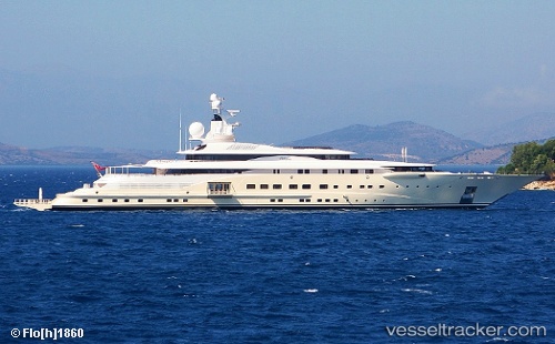
Find the position of the vessel Pelorus on the map. The latter are known coordinates and path.

marine traffic ship tracker show on live map

The current position of vessel Pelorus is 53.8433 lat / 9.41166 lng. Updated: 2024-06-17 07:01:06 UTC
Details:


Last coordinates of the vessel:
2024-06-17 07:01:06 UTC, 53.8433, 9.41166, course: 84, speed: 0


Most frequent ports a vessels calls at Pelorus (319029200):

Lisboa, traffic: 2
Lisbon, traffic: 2
Skelleftehamn, traffic: 2
Zelinika, traffic: 2
Algeciras, traffic: 2
Burea, traffic: 2
Emden, traffic: 1
Cuxhaven, traffic: 1

Link to the map:


Find another ship

Pelorus (319029200) last ports (portcalls and passsages)

Emden | 2024-05-28 10:41:28
Skelleftehamn | 2023-08-05 23:43:38
Skelleftehamn | 2023-06-21 00:30:41
Cuxhaven | 2022-03-10 21:15:09
Lisboa | 2022-02-17 03:05:55
Algeciras | 2022-02-16 00:06:17
Zelinika | 2022-01-15 09:45:06