 vesseltracker.com
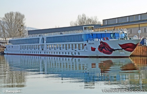
Find the position of the vessel A Rosa Mia on the map. The latter are known coordinates and path.
marine traffic ship tracker show on live map
The current position of vessel A Rosa Mia is 48.13931 lat / 17.11326 lng. Updated: 2025-10-25 15:07:56 UTCCurrently sailing under the flag of Germany
Details:
Last coordinates of the vessel:
UTC, 48.13928, 17.11327, course: -1, speed: 0UTC, 48.13929, 17.11326, course: -1, speed: 0
UTC, 48.13932, 17.11325, course: -1, speed: 0
2025-10-25 15:07:56 UTC, 48.13931, 17.11326, course: -1, speed: 0