 vesseltracker.com
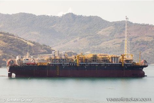
Find the position of the vessel Cidade D Mangaratiba on the map. The latter are known coordinates and path.
marine traffic ship tracker show on live map
The current position of vessel Cidade D Mangaratiba is -25.20167 lat / -42.87833 lng. Updated: 2025-10-29 04:21:38 UTCDetails:
Last coordinates of the vessel:
UTC, -25.20167, -42.87833, course: -1, speed: 0UTC, -25.20167, -42.87833, course: -1, speed: 0
UTC, -25.20167, -42.87833, course: -1, speed: 0
2025-10-29 04:21:38 UTC, -25.20167, -42.87833, course: -1, speed: 0