 vesseltracker.com
Find the position of the vessel Groningerland on the map. The latter are known coordinates and path.
marine traffic ship tracker show on live map
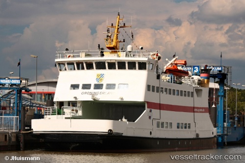
The current position of vessel Groningerland is 54.52141 lat / 8.68722 lng. Updated: 2025-11-03 18:28:30 UTCCurrently sailing under the flag of Germany
Groningerland built in 1991 year
Deadweight:
133 tDetails:
Last coordinates of the vessel:
UTC, 54.52140, 8.68721, course: 93, speed: 0UTC, 54.52140, 8.68723, course: 93, speed: 0
UTC, 54.52141, 8.68719, course: 93, speed: 0
2025-11-03 18:28:30 UTC, 54.52141, 8.68722, course: 93, speed: 0