 vesseltracker.com
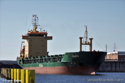
Vessel Adriata IMO: 9005376, MMSI: 255805693 Deck Cargo Ship
UTC, 60.16802, 18.49138, course: 120, speed: 0
UTC, 60.16803, 18.49138, course: 120, speed: 0
2026-01-16 15:50:33 UTC, 60.16803, 18.49139, course: 120, speed: 0
Live AIS position:
UTC. Near Hargshamn),
updated 2026-01-16 15:50:33 UTC.
Find the position of the vessel Adriata on the map. The latter are known coordinates and path.
marine traffic ship tracker show on live map
The current position of vessel Adriata is 60.16803 lat / 18.49139 lng. Updated: 2026-01-16 15:50:33 UTCCurrently sailing under the flag of Portugal
Adriata built in 1992 year
Deadweight:
5697 tDetails:
Last coordinates of the vessel:
UTC, 60.16803, 18.49137, course: 120, speed: 0UTC, 60.16802, 18.49138, course: 120, speed: 0
UTC, 60.16803, 18.49138, course: 120, speed: 0
2026-01-16 15:50:33 UTC, 60.16803, 18.49139, course: 120, speed: 0