 vesseltracker.com
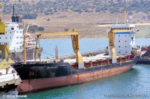
Vessel T mare IMO: 9007001, MMSI: 352978130 General Cargo Ship
UTC, 36.71350, -4.42146, course: 223, speed: 0
UTC, 36.71350, -4.42148, course: 223, speed: 0
2026-01-17 10:19:29 UTC, 36.71346, -4.42150, course: 223, speed: 0
Live AIS position:
UTC. Near Yunquera),
updated 2026-01-17 10:19:29 UTC.
Find the position of the vessel T mare on the map. The latter are known coordinates and path.
marine traffic ship tracker show on live map
The current position of vessel T mare is 36.71346 lat / -4.42150 lng. Updated: 2026-01-17 10:19:29 UTCCurrently sailing under the flag of Panama
Details:
Last coordinates of the vessel:
UTC, 36.71348, -4.42152, course: 223, speed: 0UTC, 36.71350, -4.42146, course: 223, speed: 0
UTC, 36.71350, -4.42148, course: 223, speed: 0
2026-01-17 10:19:29 UTC, 36.71346, -4.42150, course: 223, speed: 0