 vesseltracker.com
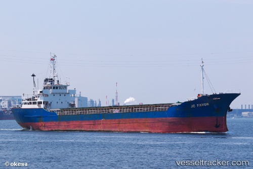
Vessel Dong Yang IMO: 9010101, MMSI: 667001493 General Cargo Ship
UTC, 33.41652, 34.32921, course: 220, speed: 10.4
UTC, 33.18612, 34.08141, course: 220, speed: 10.3
2026-01-16 17:24:28 UTC, 32.90446, 33.79089, course: 225, speed: 9.5
Live AIS position:
UTC. 59 nm W of Atlit),
updated 2026-01-16 17:24:28 UTC.
Find the position of the vessel Dong Yang on the map. The latter are known coordinates and path.
marine traffic ship tracker show on live map
The current position of vessel Dong Yang is 32.90446 lat / 33.79089 lng. Updated: 2026-01-16 17:24:28 UTCCurrently sailing under the flag of Sierra Leone
Details:
Last coordinates of the vessel:
UTC, 33.45956, 34.37557, course: 220, speed: 10.1UTC, 33.41652, 34.32921, course: 220, speed: 10.4
UTC, 33.18612, 34.08141, course: 220, speed: 10.3
2026-01-16 17:24:28 UTC, 32.90446, 33.79089, course: 225, speed: 9.5